Historic Maps
-
Instructions: Click on the map title to preview. Click on the map image to enlarge (opens a new tab). To close, click on the map title again.
-
-
-
-

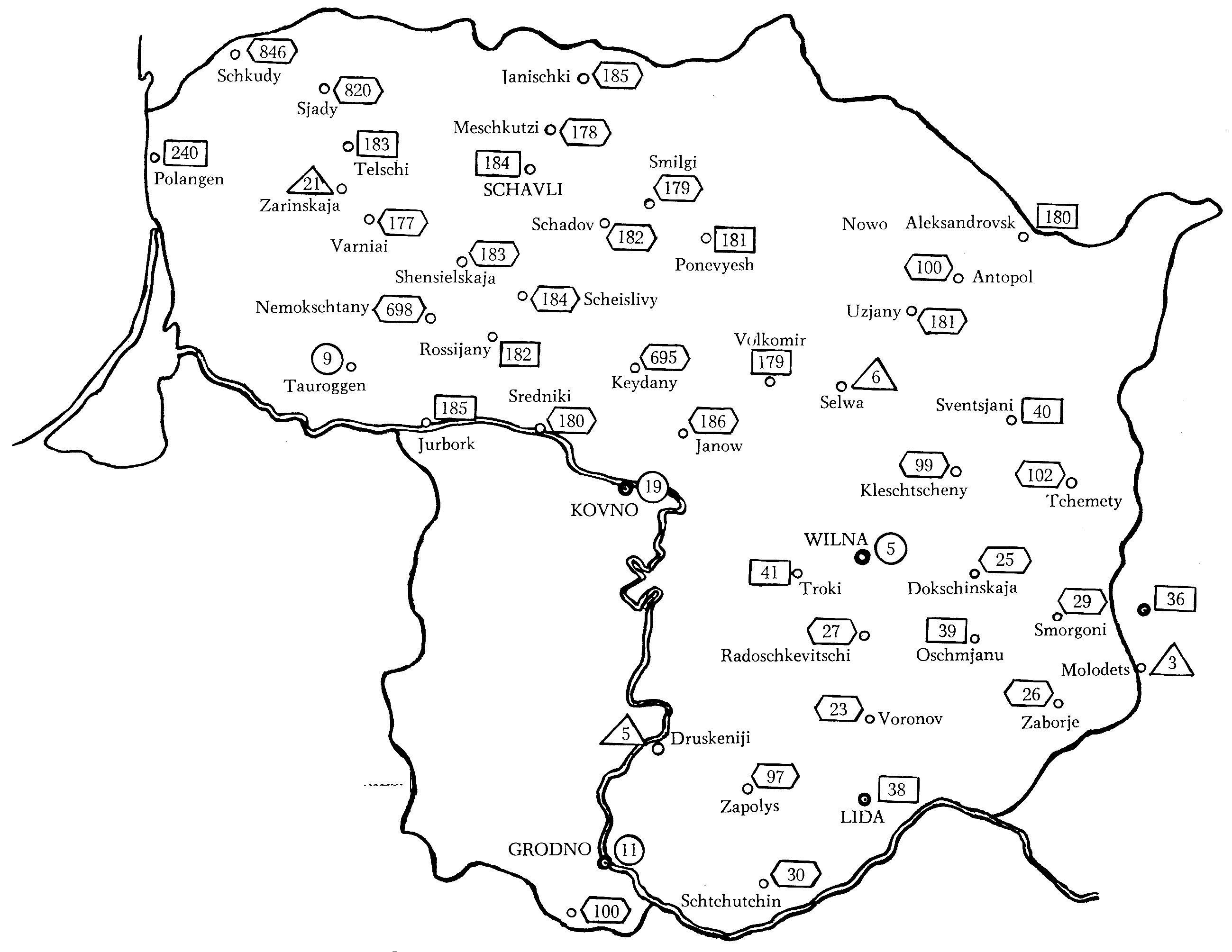
Governorate borders in red, today's Lithuanian border in thick black line
See also explanations on the Imperial Russian Post in Lithuania. -

See also explanations on the Imperial Russian Post in Estonia.
-
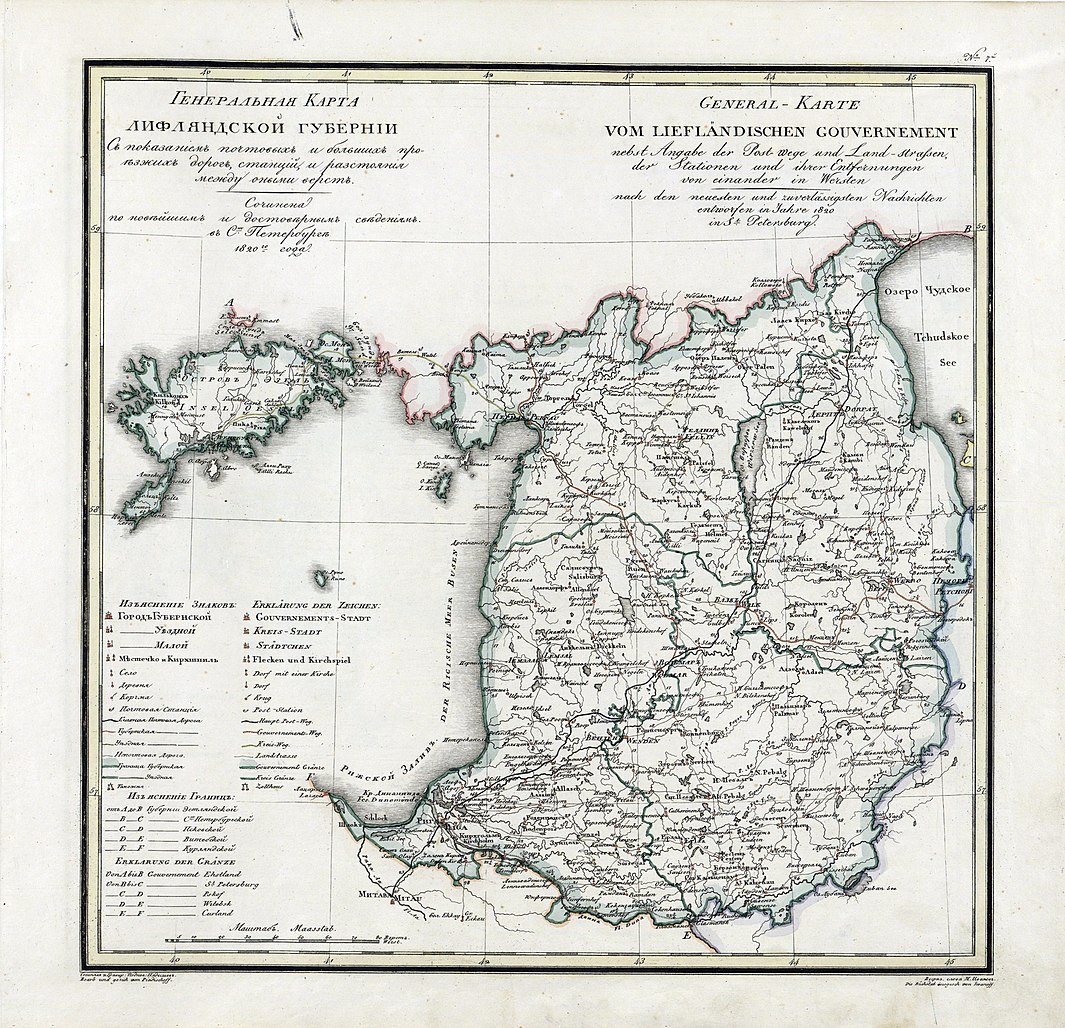
See also explanations on the Imperial Russian Post in Estonia and in Latvia.
-

See also explanations on the Duchy of Courland and Semigallia.
-
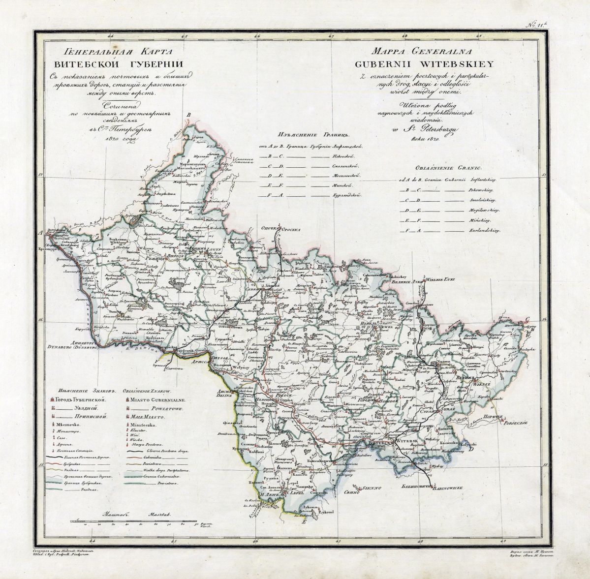
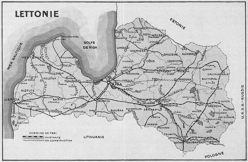
See also comments on Latgale, on the Imperial Russian Post in Latvia and on the Independent Republic of Latvia.
-
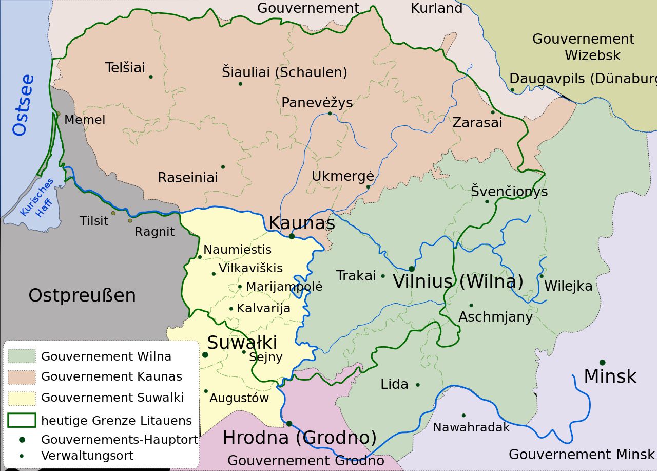
See also explanations on the Kaiserlich-russischen Post in Litauen.
-
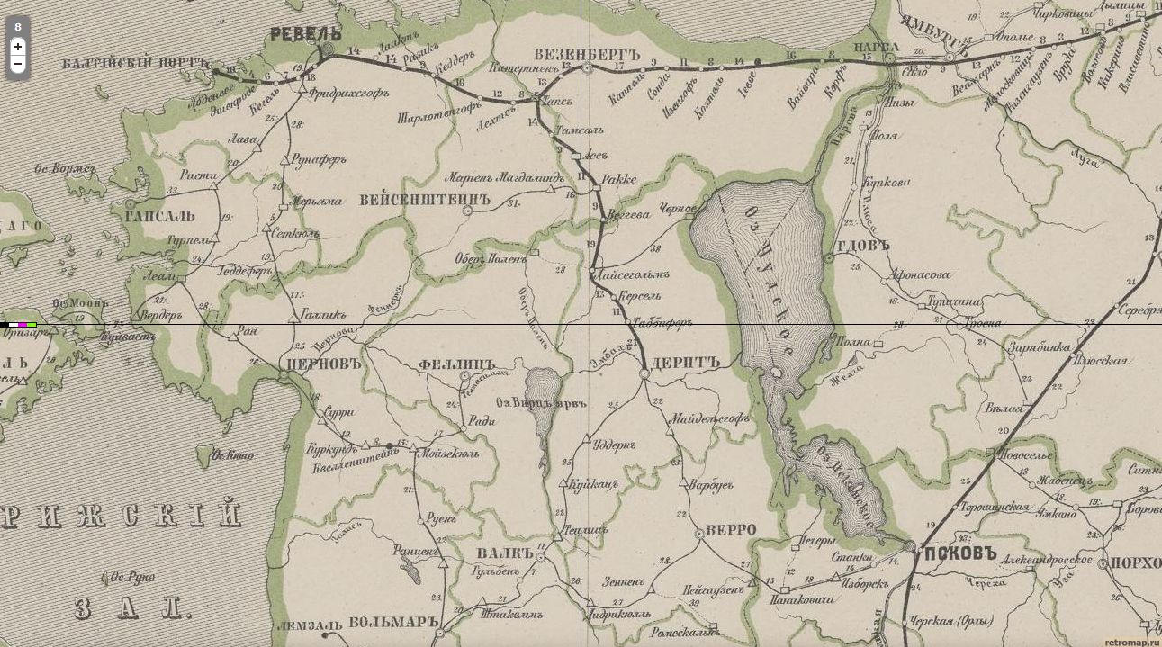
See also explanations on the Railwaymail in Estonia and in Lithuania at the time of the Russian Empire.
-

See also comments on Central Lithuania.
-
-

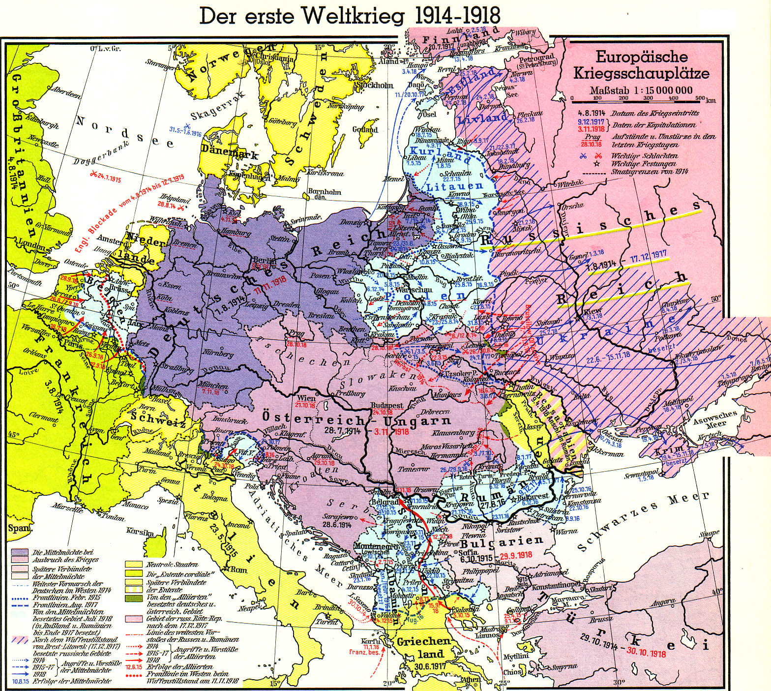
The dashed border line shows how unclear the border lines were in Eastern Europe after the First World War. This was particularly true for Lithuania. More under Collector's Area Independent Republic of Lithuania
-
-
-
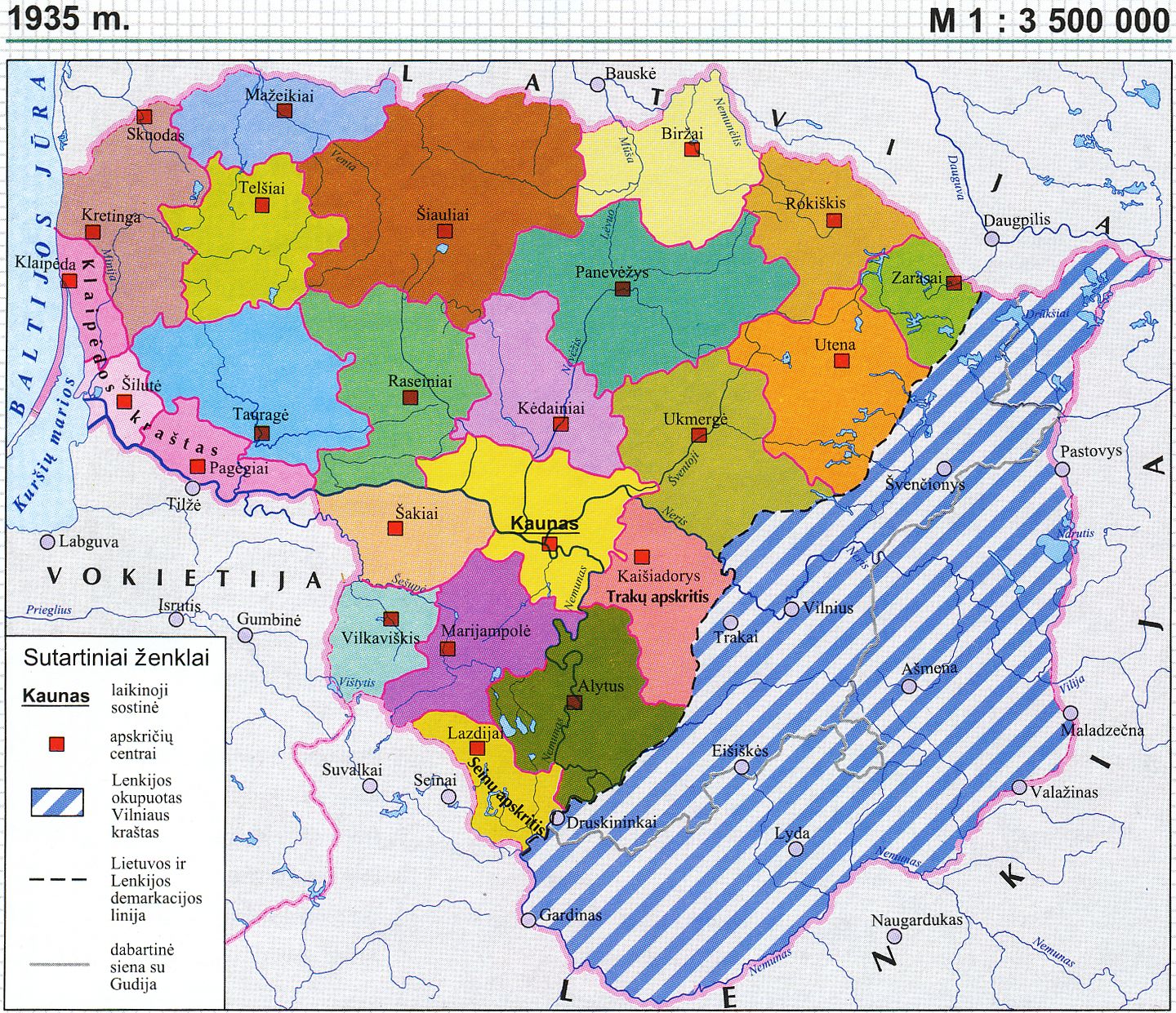
The coloured areas show Lithuania in the de facto borders of 1935. The blue-white shaded areas show the Vilnius region, which belongs to Poland. (cf. comments on Central Lithuania) as well as regions in the south around the cities of Grodno, Lida and Suwalki, which today partly belong to Lithuania, Belarus or Poland; Kaunas is designated as the provisional capital.
-
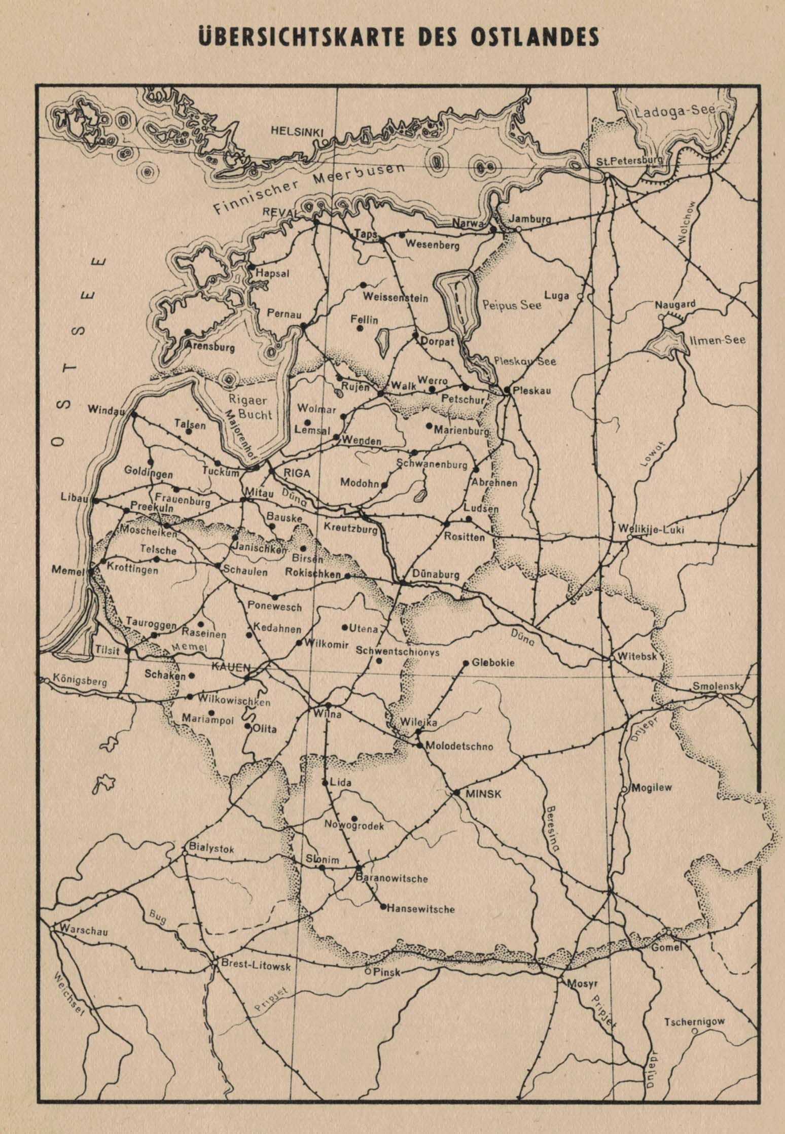
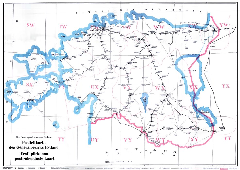
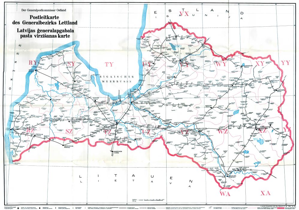
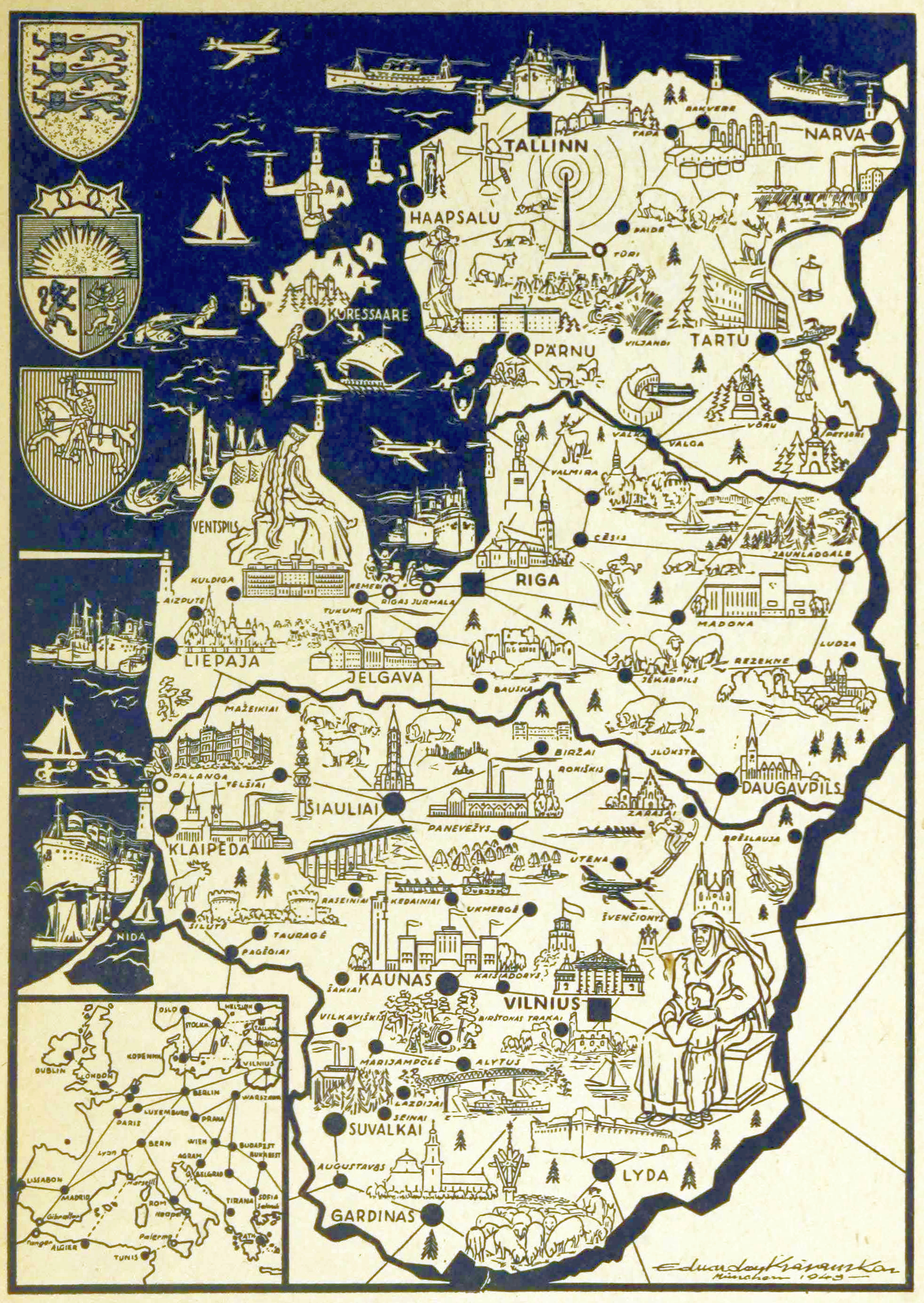
See also explanations of the German occupation of Estonia 1941–1944 / Ostland, of the German occupation of Latvia 1941–1945 / Ostland / Courland as well as the German occupation of Lithuania 1941–1944 / Ostland.
-
-
-


